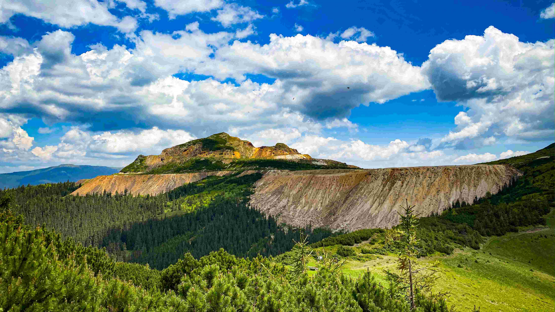
Pietrosul Călimanilor Peak I Călimani Mountains
Full description
This is one of the most popular hiking trails that leads to the ridge of the Călimani Mountains. The starting point of the route marked with a blue cross is the mouth of Ilva stream, in the upper half of Lunca Bradului, from where a forest road leads to the confluence of Negoiu and Pietrosul streams. The forest road is accessible up to this point by car, which can be parked here. After this road fork, the path becomes narrower, steeper and more difficult up to the foot of Negoiu Unguresc peak. After passing a steep wooded part and the sheepfold in the meadow below. Negoiu Peak, where there is also a spring - the last source of water, you will reach a saddle called Șaua Negoiului, where the wonderful panorama of the Călimani mountains lies before your eyes. The ridge path, marked with a red stripe, climbs steeply to the top of Negoiu Unguresc (2049 m), from where Pietrosul Călimani Peak (2100 m), the highest peak of Călimani mountains, is only a half hour walk away. From a total distance of 26 km, almost 18 km can be done by car.
This is one of the most popular hiking trails that leads to the ridge of the Călimani Mountains. The starting point of the route marked with a blue cross is the mouth of Ilva stream, in the upper half of Lunca Bradului, from where a forest road leads to the confluence of Negoiu and Pietrosul streams. The forest road is accessible up to this point by car, which can be parked here.
