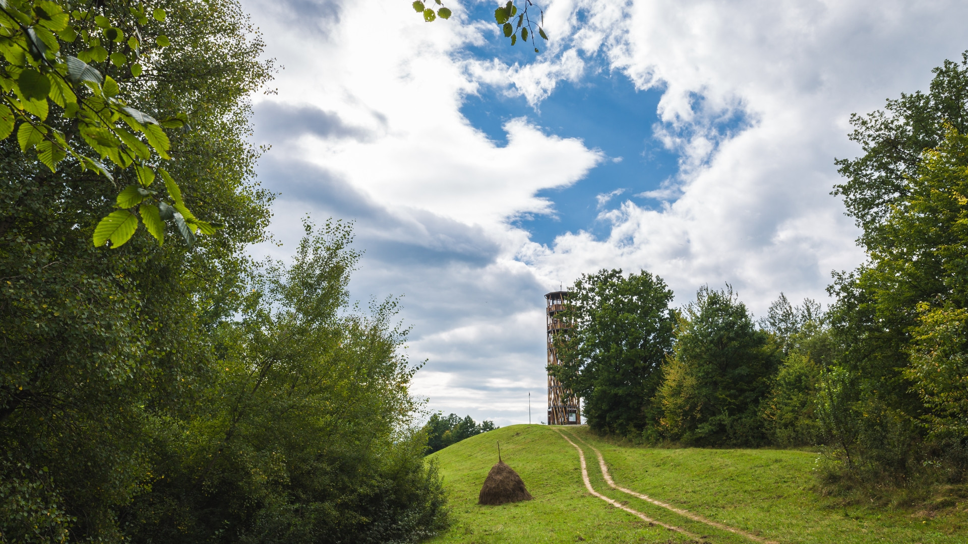
Hiking and trails
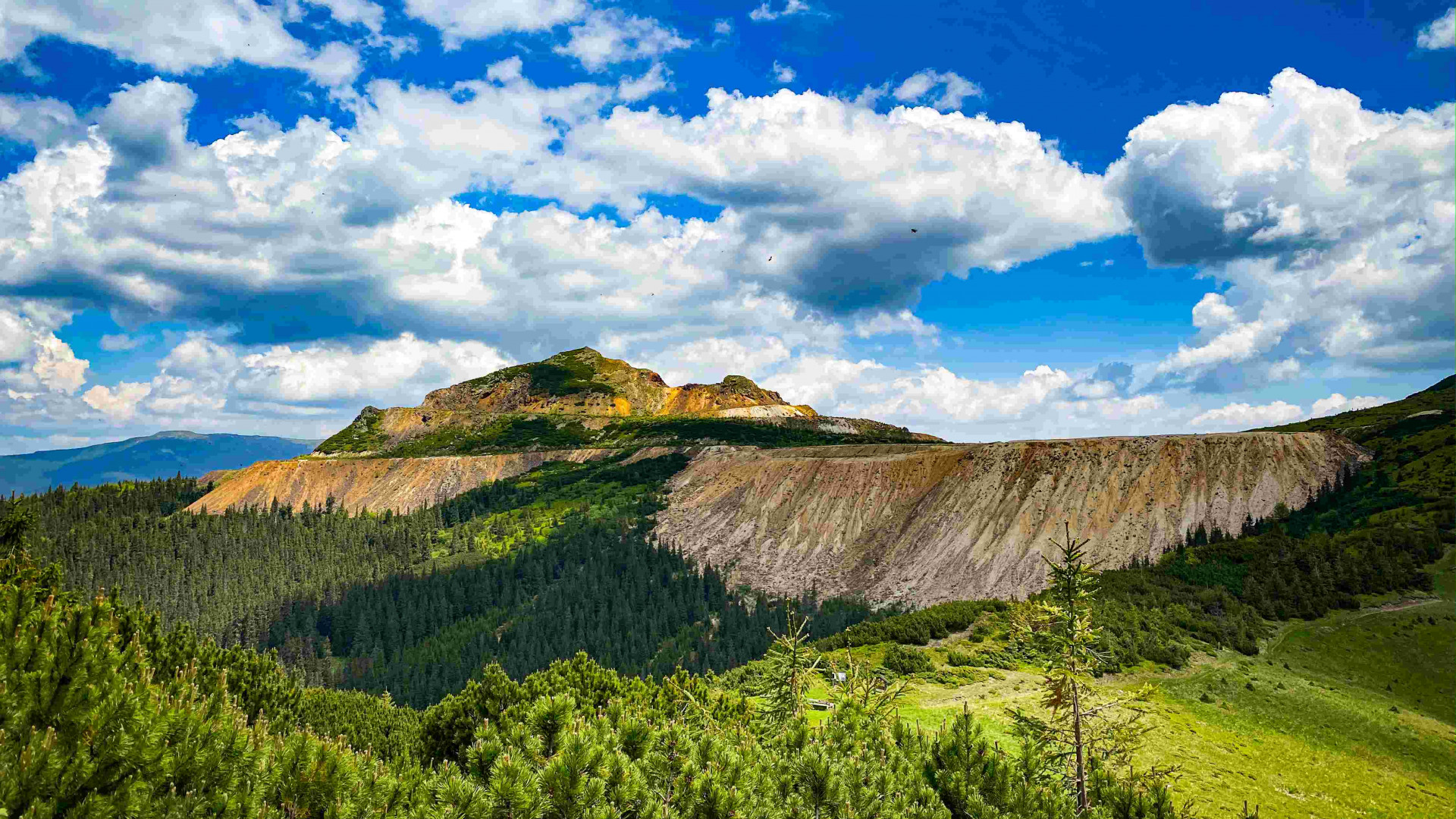
Pietrosul Călimanilor Peak I Călimani Mountains
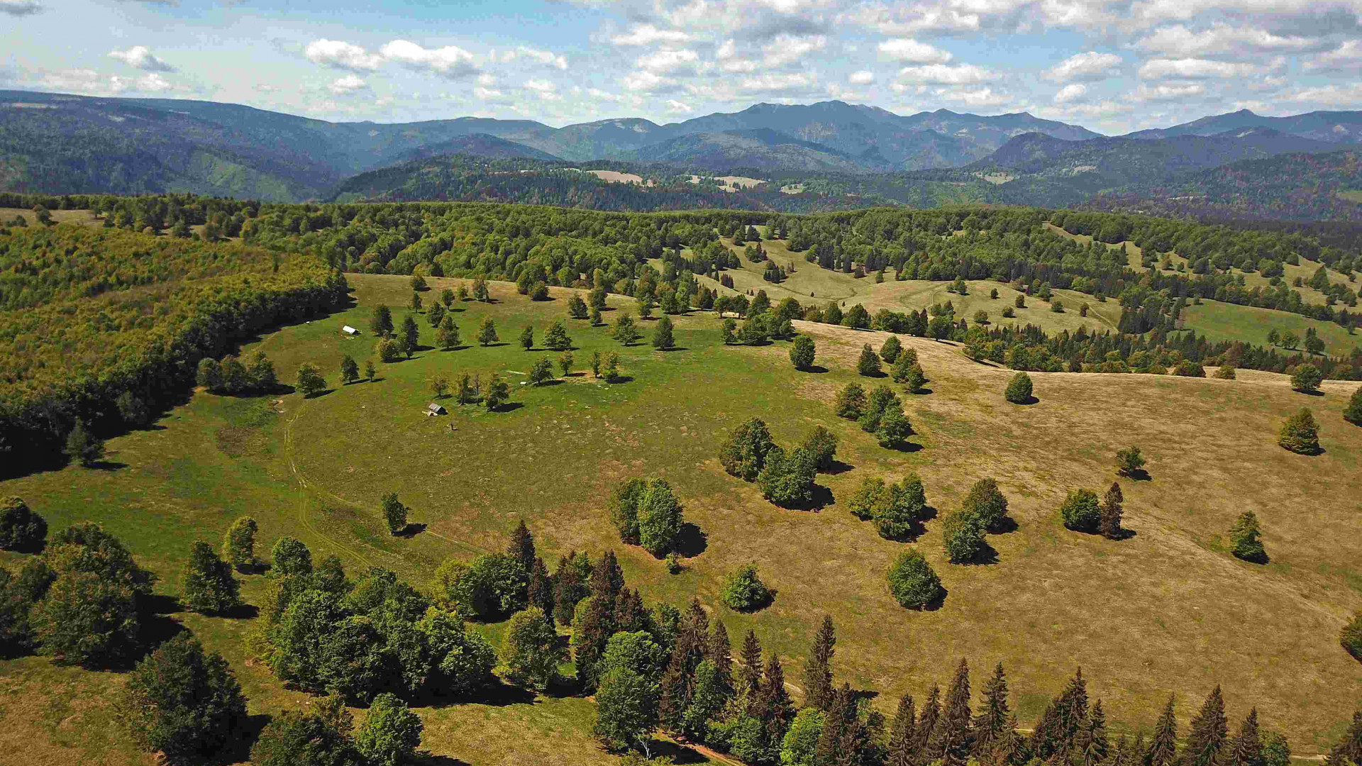
This is one of the most popular hiking trails that leads to the ridge of the Călimani Mountains. The starting point of the route marked with a blue cross is the mouth of Ilva stream, in the upper half of Lunca Bradului, from where a forest road leads to the confluence of Negoiu and Pietrosul streams. The forest road is accessible up to this point by car, which can be parked here.
Learn more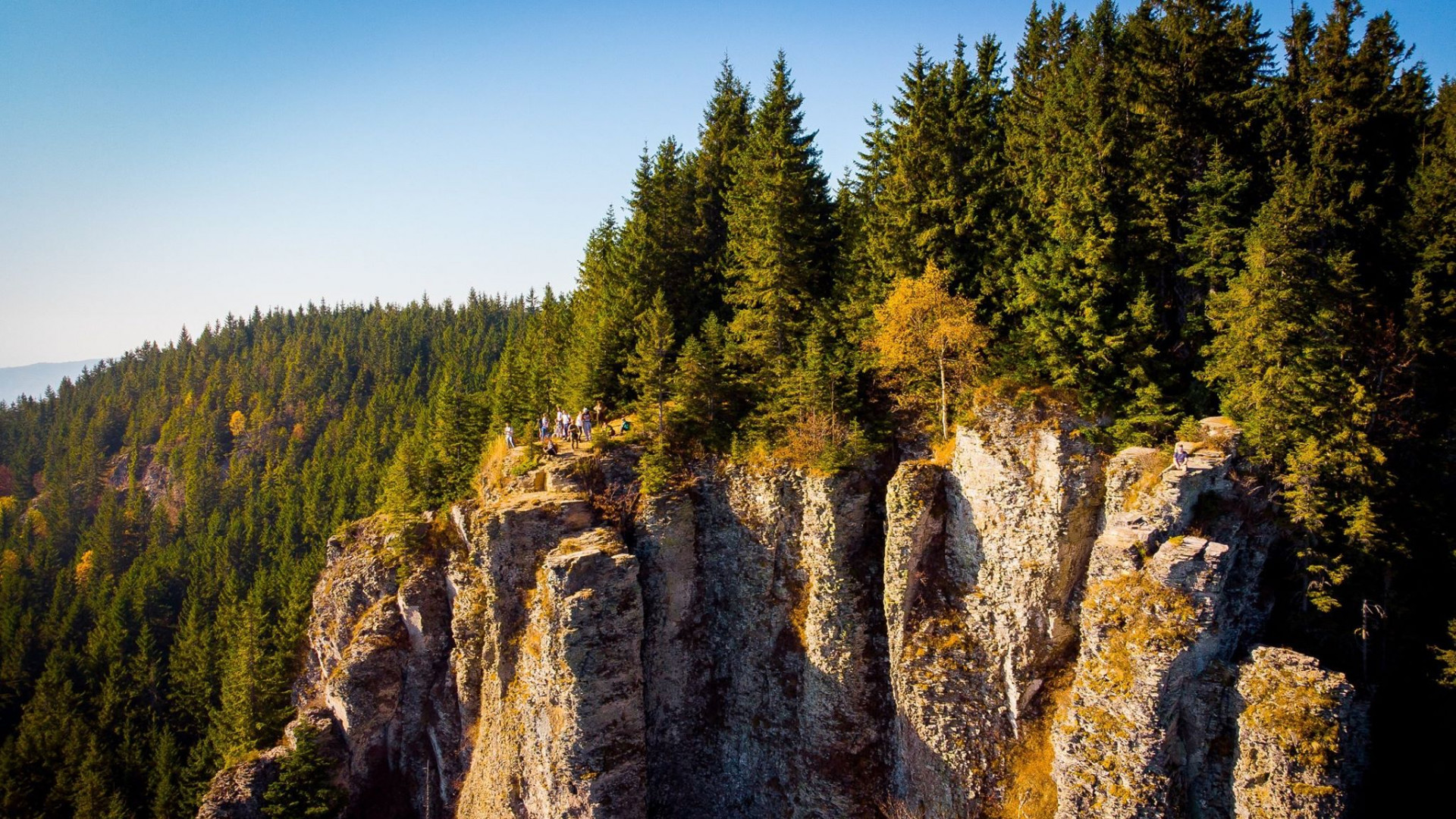
Scaunul Domnului - Munții Călimani
The blue stripe tourist mark starts from the village Bistra Mureşului, it is approximately 9 km long and it takes about 3-4 hours, its degree of difficulty is medium. The blue cross and blue triangle marks start from the forest road of Bistra Mureşului, then continue up along the stream Zapodia cu Cale, this route being longer both in distance and time than the previous one. The route marked with blue circle starts from the village Galónya/Gălăoaia, from the refuge there and advances along the stream Gălăoaia Mică up to Poiana de Mijloc, then it descends towards the God’s Chair. This is the longest route.
Learn more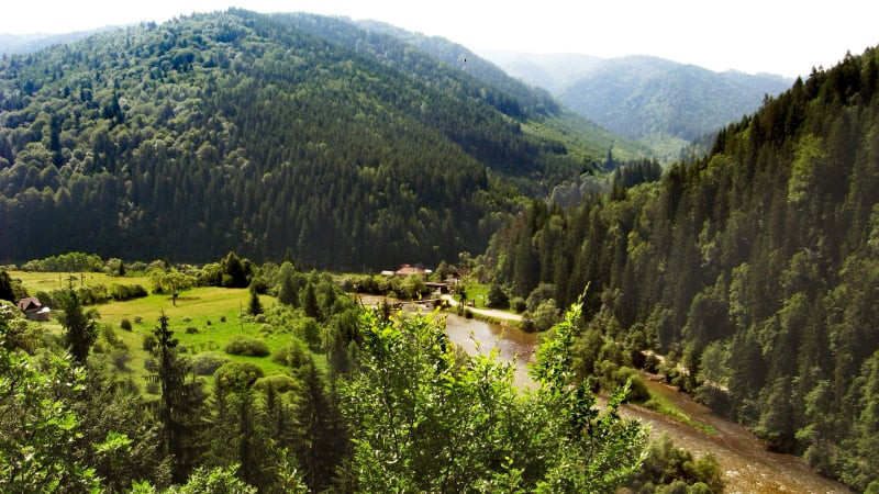
Upper Mureș Valley Nature Reserve
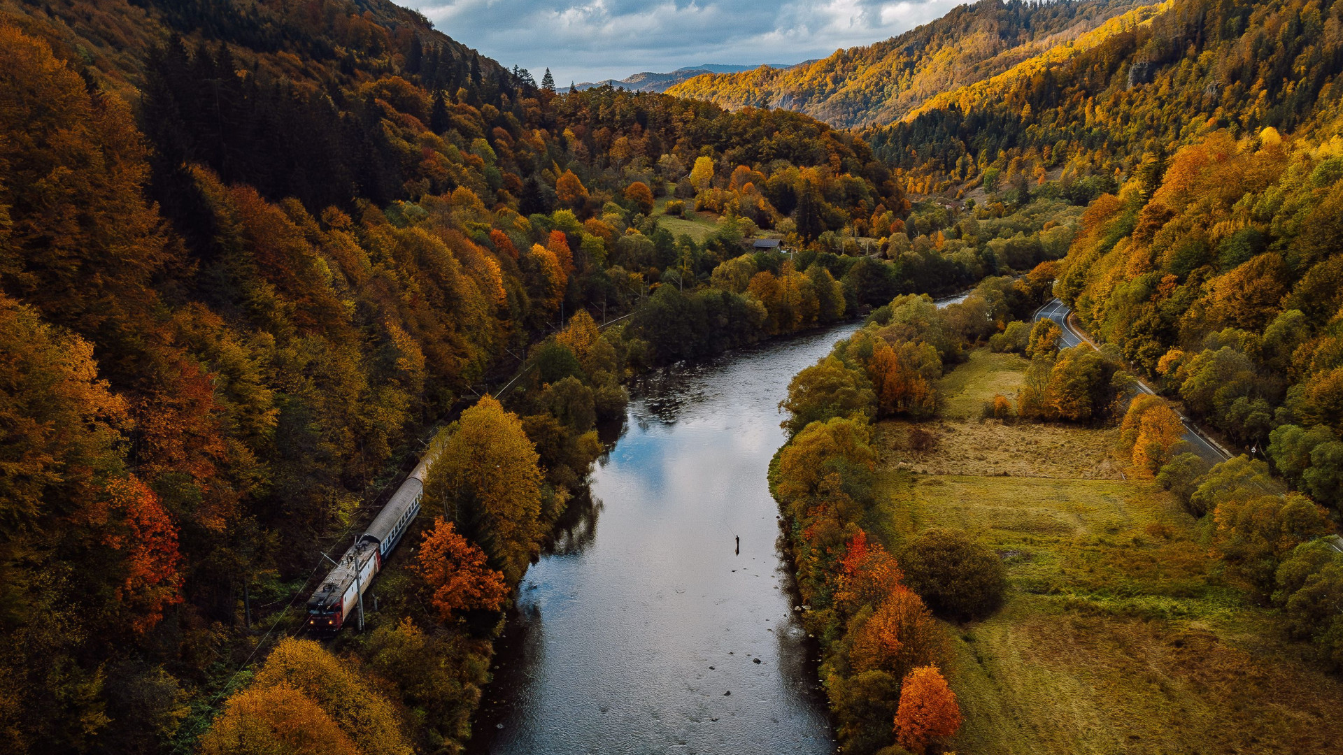
The Upper Mureș Valley Protected Area is located in the north-eastern part of Mures County, covering the administrative territories of the towns of Stânceni, Lunca Bradului, Răstolița and Deda. Here, the hard rock of the volcanic Călimani and Gurghiu mountains is completely pierced by the Mureș River for a distance of about 30 km, creating a particularly picturesque area. The presence of specially protected birdlife and landscape led to the protection by law of this area in 2007 becoming the Upper Mureș Valley Natural Park, which covers an area of 9000 ha. Here you can find protected species of birds, flowers or animals, as well as rich coniferous and deciduous forests. The fast flowing waters of the river are ideal for rafting, especially in spring, and the whole park is suitable for hiking or biking.
Learn more